
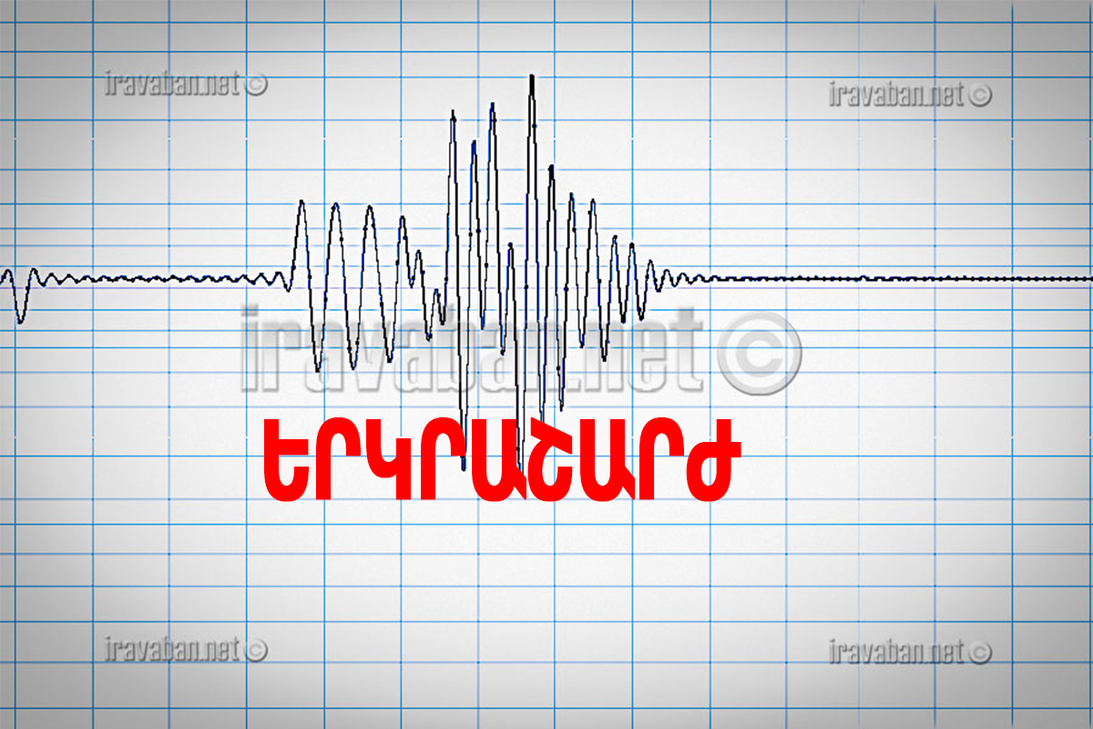
The Ministry of Emergency Situations of the Republic of Armenia informs that on 15 February, at 18:21 local time (14:21 GMT), the seismological network of the Territorial Seismic Protection Service of the Ministry of Emergency Situations of the Republic of Armenia registered an earthquake with geographical coordinates of 44.56 north latitude 40.04 northeast longitude, 17 km south of Yerevan, at a depth of 10 km, with 2.3 magnitude.
The magnitude of the earthquake in the epicenter was 3 points.
The earthquake was felt in the city of Yerevan with a magnitude of 2-3.
It should be reminded that on 13 February of this year, at 15:29 local time (11:29 GMT), the seismological network of the Territorial Seismic Protection Service of the Ministry of Emergency Situations of the Republic of Armenia registered an earthquake with 40.11 north latitude 44.54.5 longitude, 8 km south-east of Yerevan, Armenia, 10 km deep, 4.7 magnitude. The magnitude of the earthquake in the epicenter was 6-7.
The earthquake was felt in the city of Yerevan with a magnitude of 5-6, in the regions of Aragatsotn, Ararat, Shirak, Armavir, Vayots Dzor with a magnitude of 3-4.