
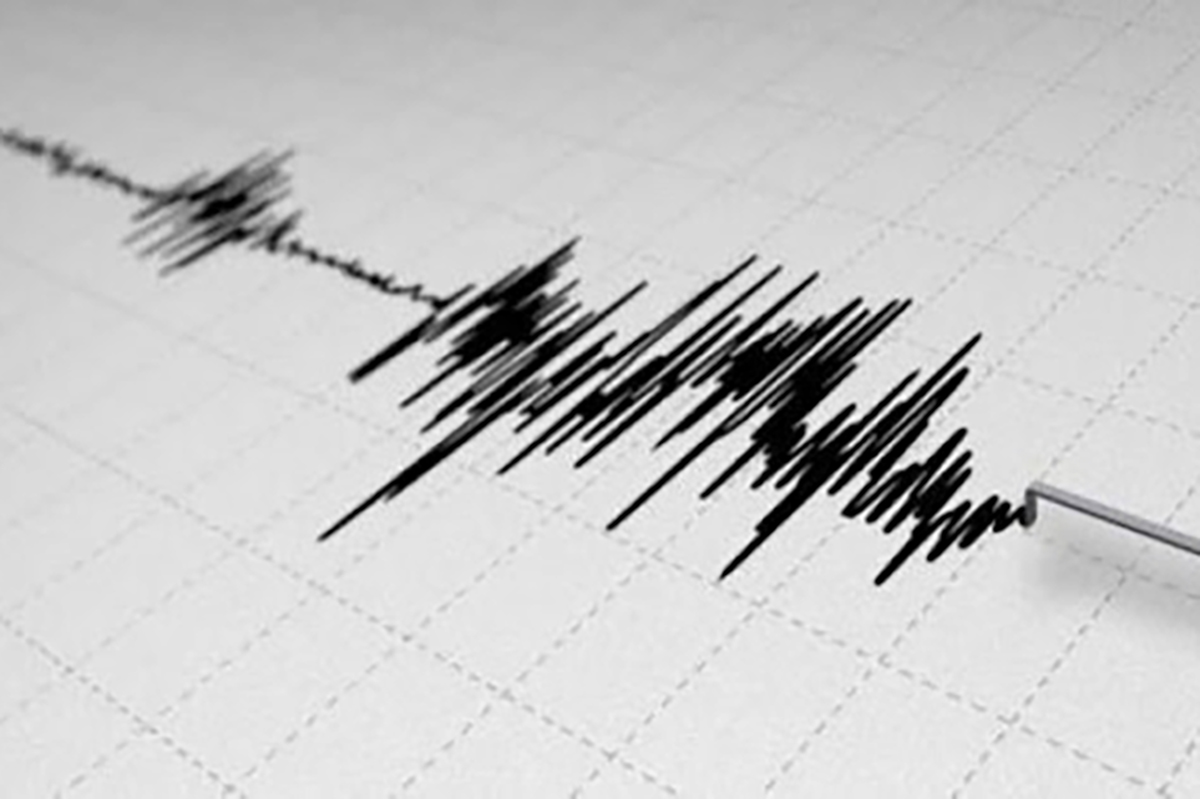
Emergency Situations Ministry informs that on 6 February, at 11: 49 pm (Greenwich Mean Time at 07:49 pm) the Regional Seismological Network of Seismic Protection Service of the Ministry of Emergency Situations registered a 2.3 magnitude earthquake at a northern latitude and eastern longitude 45.30 40.53⁰ Geographical coordinates: Armenia, 4 km north-east of Shorzha village, Gegharkunik region, at a depth of 10 km.
The magnitude of the earthquake in the epicenter was 2-3 points.
The earthquake was felt in Shoghakat village of Gegharkunik region with a magnitude of 2-3.
It should be reminded that on 5 February, at 19:36 local time, 5 km north-east of Shorzha village, Gegharkunik region, at a depth of 10 km, a 4.7 magnitude earthquake was registered, the magnitude of which, according to MSK-64 scale, was 6-7 points. It was felt with a magnitude of 5-6 in Gegharkunik region, with a magnitude of 4-6 in many settlements of Kotayk, Tavush, Lori and Ararat regions, and with a magnitude of 3-4 in the city of Yerevan.
The earthquake was followed by about 60 seismic events from February 5 to 6 (as of 11:00 am), 5 of which were M≥2.5 (all weaker than the first quake).
As of 20:10, no alarms were registered in the territory of the Republic of Armenia regarding the devastation, victims, injured.
According to the information received from the head of Artanish community of Gegharkunik region, the wall of a non-functioning, half-destroyed school collapsed due to the earthquake. According to him, according to the information received from the heads of Aghberk and Shorzha communities, the partitions of one old earthen barn collapsed in the given communities. As of 23:30, no alarms were registered in the territory of the Republic of Armenia regarding other destructions and victims.
On 6 February, at 00:06 local time (5 February, 20:06 GMT), the seismological network of the Territorial Seismic Protection Service of the Ministry of Emergency Situations of the Republic of Armenia registered a 3.7 magnitude earthquake with geographical coordinates of latitude 40.53 հյուս north latitude 45.32 և east longitude Armenia 5 km north-east of Shorzha village, 10 km deep.
The magnitude of the earthquake in the epicenter was 5 points.
The earthquake was felt in Gegharkunik and Tavush regions with a magnitude of 4-5.